Million Dollar Highway between Silverton and Ouray
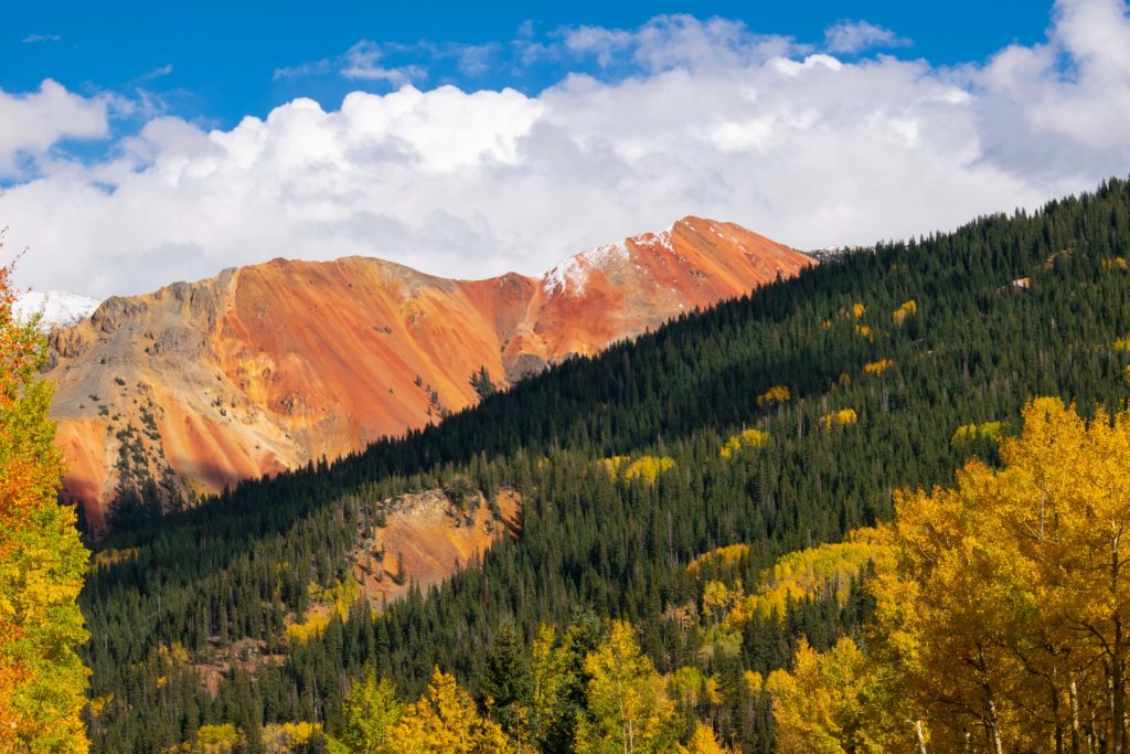
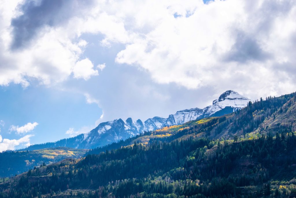
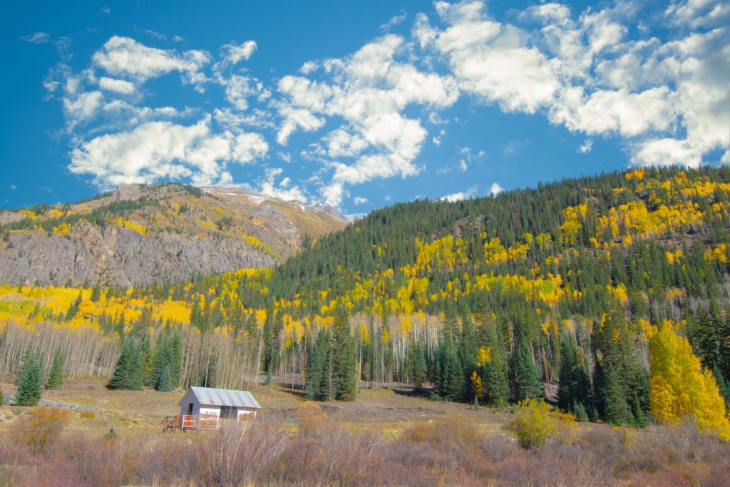
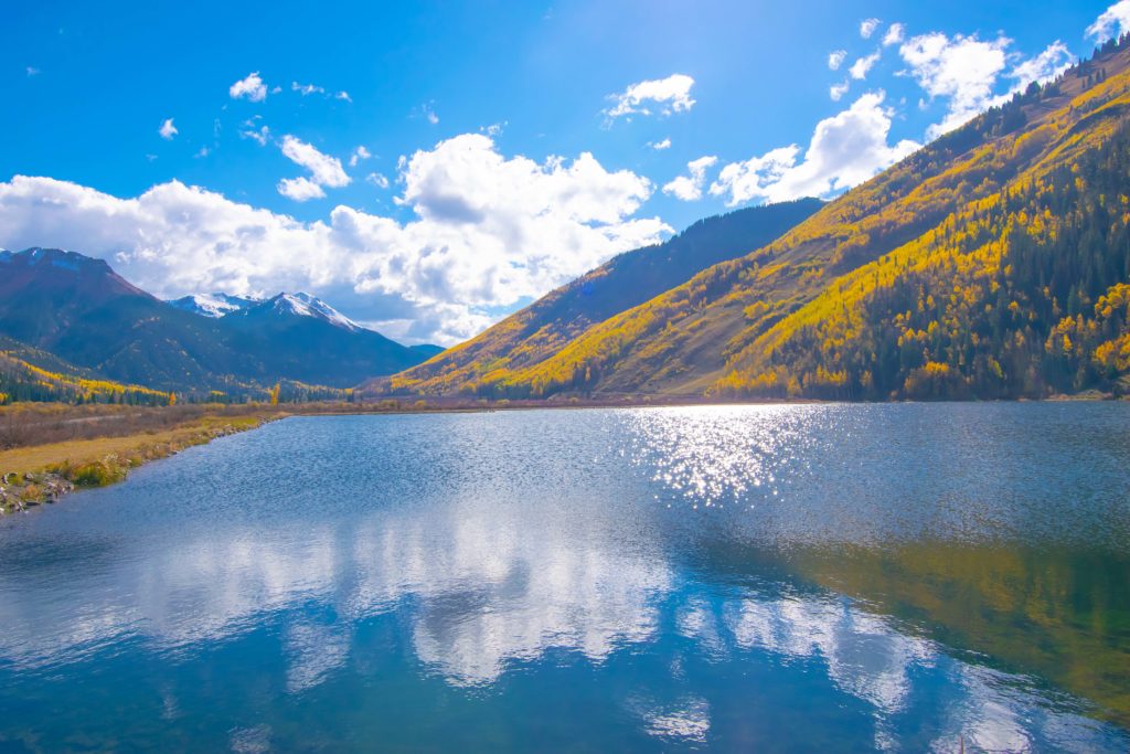
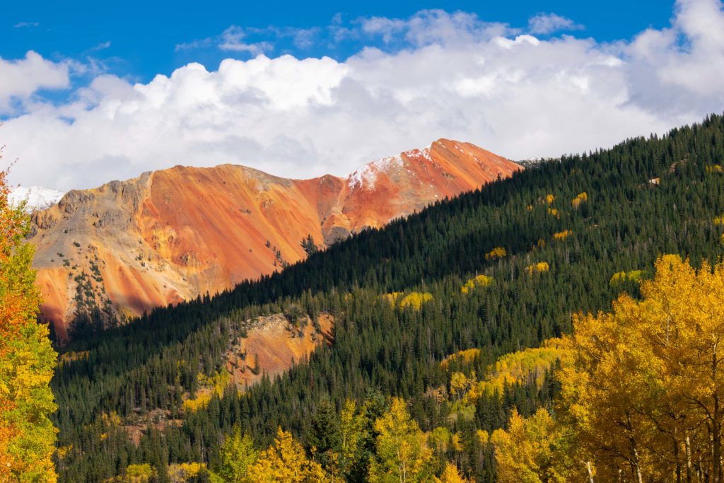
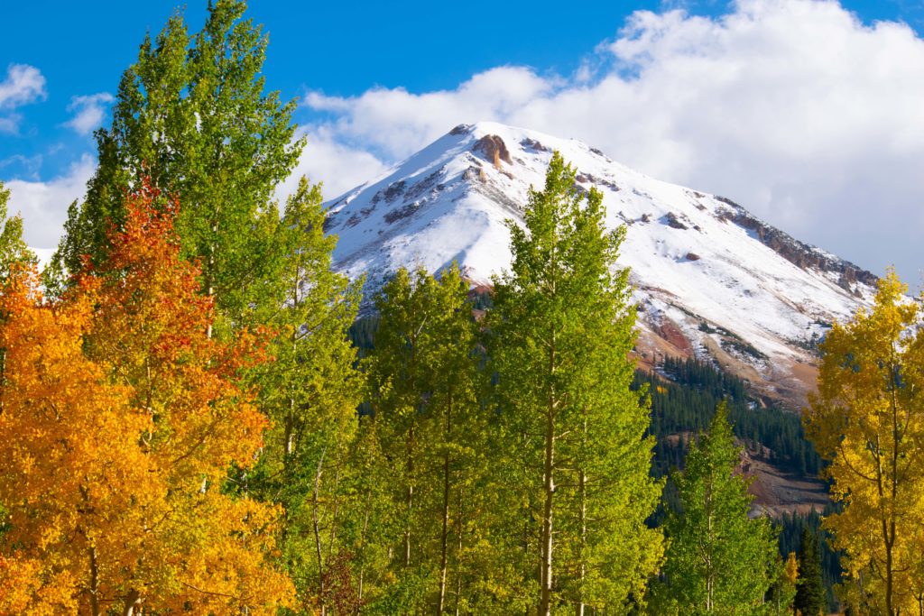
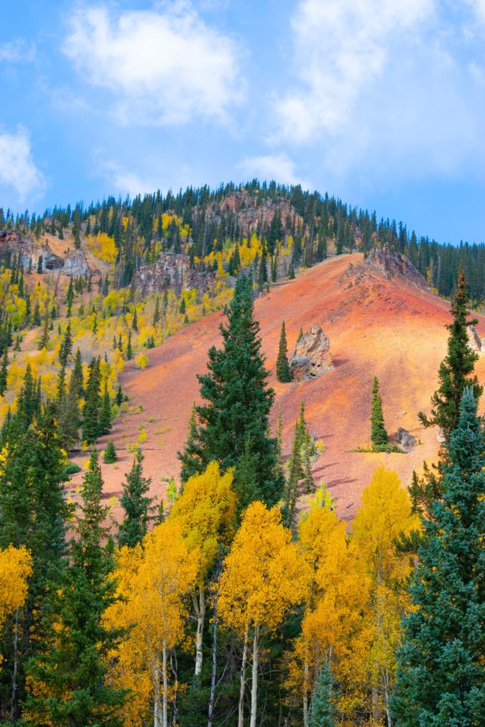
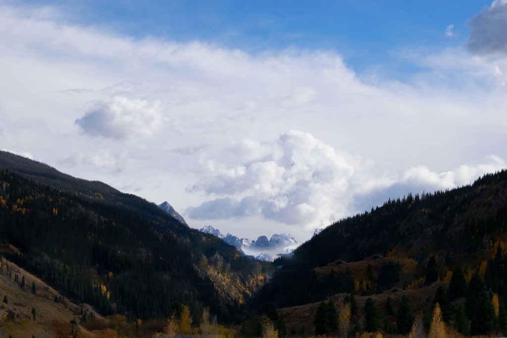
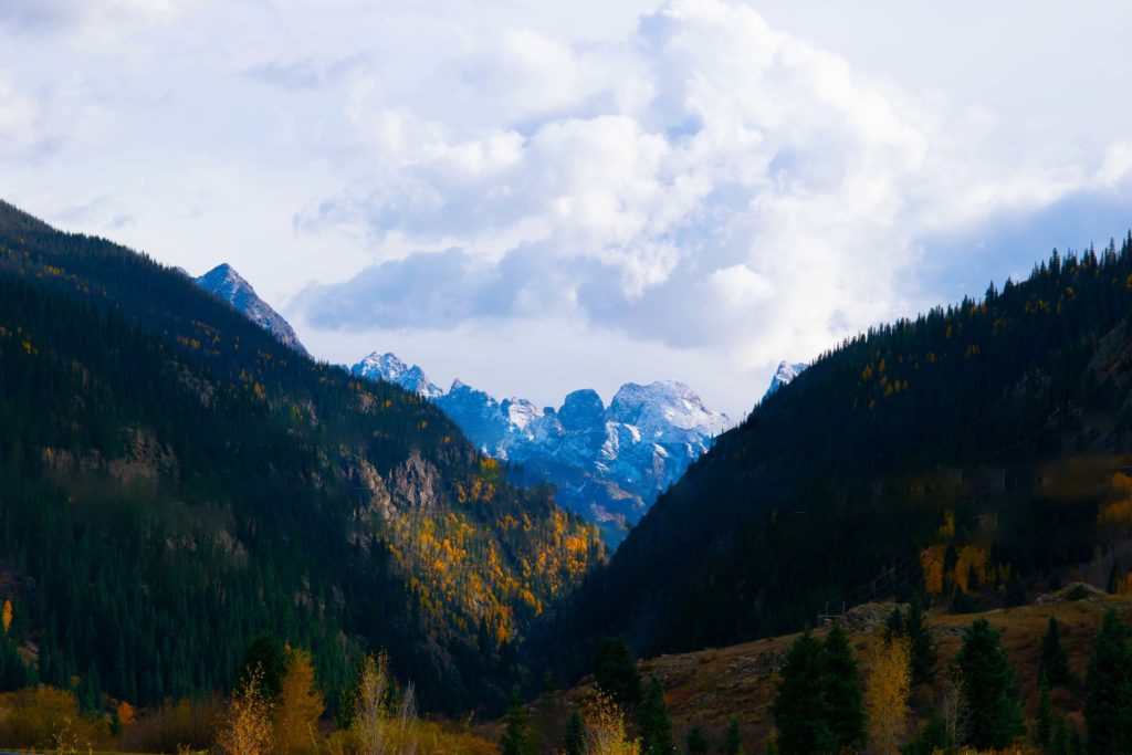
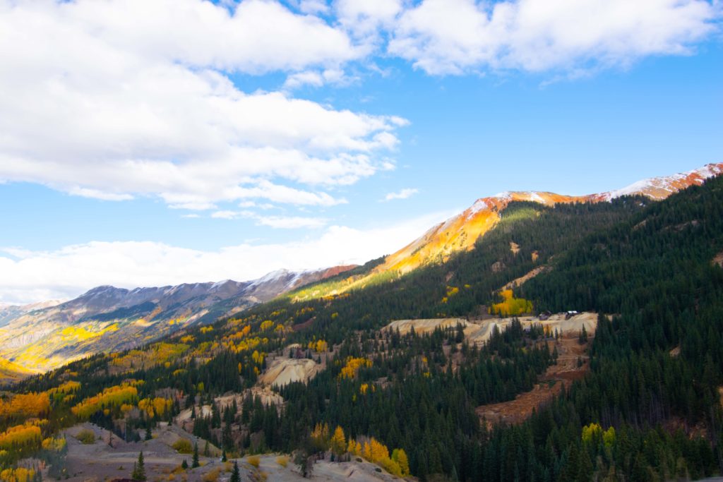
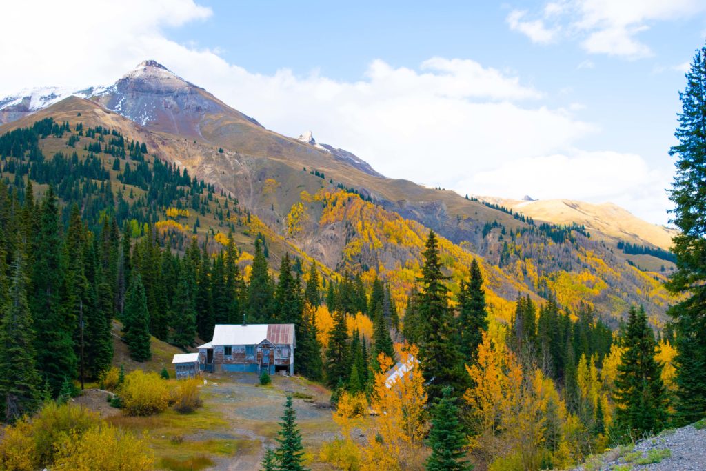
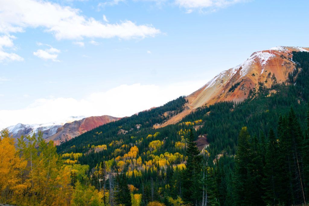
Million Dollar Views!
Autumn colors made me feel like the Million Dollar Highway earned its name by the sea of gold aspens it winds through. This scenic road has amazing Colorado Fall Foliage. In case you haven’t heard of it, the nickname belongs to a 25-mile stretch of the San Juan Skyway between Silverton and Ouray. Constructed in 1883s, the original narrow toll-road was dangerous and scary to drive on. An early traveler was quoted as saying she wouldn’t ride on it again even for a million dollars. According to some accounts, the nickname originated from that statement. Others claim the name has to do with the actual cost of the road, built in the early 1920s. The original road didn’t go all the way to Ouray since it was too hard to finish. When finished, it supposedly cost a million dollars per mile to complete, or the land it sits on cost a million dollars. According to the third tale, the road used gravel from the nearby silver and gold mines. The dirt was so rich in these precious metals that we are driving on millions of dollars of silver and gold.
But I feel that the road earned its name through its million-dollar views. Especially in the fall seeing all the gold aspen trees. This is one of the best places to see colorado fall foliage. Here is a taste of the Million Dollar Highway enjoy!
Is Million Dollar Highway worth it?
It’s one of the most scenic drives in the USA. Offering breathtaking mountain, valley and gorge views, the Million Dollar Highway is one of the most beloved roads in the country. The highway cut from the side of the mountain delivers jaw-dropping vista after vista. This classic stretch of two-lane blacktop snakes its way through the San Juan Mountains, the wildest and most rugged peaks in the Rockies. The countryside is decked in wildflowers during the spring, and sustains elk, mountain goats, black bears, and deer. The Million Dollar highway is characterized by steep cliffs, narrow lanes, and a lack of guardrails; the ascent of Red Mountain Pass is marked with a number of hairpin “S” curves used to gain elevation, and again, narrow lanes for traffic—many cut directly into the sides of mountains. It’s a harrowing and downright dangerous drive marked with narrow lanes (often shared by RVs), steep cliffs, sheer drop offs and zero guardrails.
Moving to Mesa County: The Ultimate Guide
Moving to Mesa County: The Ultimate Guide


Leave a Reply